Be prepared to take an adventure of a lifetime
Take a Chance, Love your life, Never give up
New York State
Geography
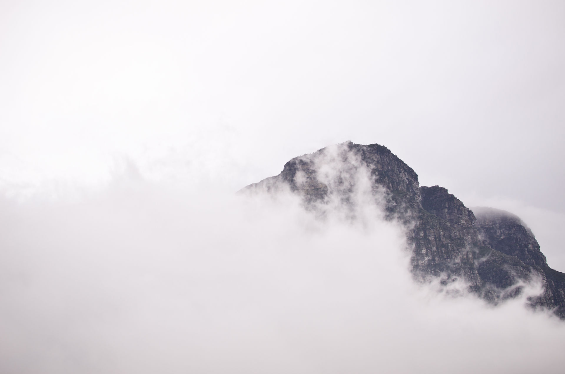
Rrrrr, the engines of cars, big lights and bustling energy surrounds you, even during the night. On the other hand, you listen to the calmness of chirping birds and the rustling of trees. This shows a little of both worlds of New York. New York has extremely harsh winters and hot summers that lead to phenomenal humidity. New York has eight unique land regions: The Adirondack Upland, Tug Hill Plateau, Atlantic Coastal Plain, New England Upland, St. Lawrence Lowland, Erie-Ontario Lowland, Hudson-Mohawk Lowland, and the Appalachian Plateau. With such a variety of unique geographical features I believe there is way more to New York than just hustling cities.


Basic Facts!
New York is located in the northern region of the US ( United States). New York has five bordering states. They are New Jersey, Connecticut, Massachusetts, Vermont, and Pennsylvania. To the north of New York is Vermont and to the east is Massachusetts and Connecticut. New Jersey is south and Pennsylvania is west of New York. There is a whole different country bordering New York called Canada. Canada is bordering the northern and western borders. New York is 54,556 square miles making it the 27th largest state.
New York’s climate is classified as humid continental. New York experiences extremely hard winters. Thirty New York communities have fallen below -40℉. Northern New York faces 35-40 days per year below -0℉. In summer days from May-September, the temperature often hits 90℉. Generally temperatures in the Adirondacks are ten or fifteen degrees lower than in New York City. The average high temperature in July is 77℉. The average low winter temperature in January is 33℉. The highest ever recorded temperature was 108℉ in Troy, New York on July 22, 1926. The lowest recorded temperature was -52℉ in Old Forge on February 18, 1979. The highest yearly precipitation in New York is 45 inches.

Hudson Mohawk
Lowlands
The Hudson-Mohawk lowlands is in the shape of an upside down L, along the Hudson River and the Mohawk River. The lowland is about 10-80 miles wide and the nation’s only travable passage to the Appalachian Mountains. Which has provided the most important routes of transportation between the the Atlantic Ocean and the Great Lakes. East of the Hudson River is a strip of the Taconic Mountains along New York’s eastern border. The flat plains are fertile and support fruit.
Adirondack uplands
The Adirondack upland is a circular region southeast of the St. Lawrence low-land. Lake Placid, Lake Tupper and Lake Tear of the Clouds all are important bodies of water that source from the Hudson River. This region covers 5.7 million acres in northern New York. Adirondack is bounded by four bodies of water, north is the St. Lawrence River, east is Lake Champlain, south is the Mohawk River Valley, and west is the Black River. Adirondack includes more than 2,200 lakes and 2,000 peaks including New York’s highest peak, Mount. Marcy.
ST. Lawrence Lowland
The St. Lawrence low-land. It’s a nearly flat gently rolling region along the northmost part of the state. It's rich in dairy farms, sand and gravel, crushed stone and talc mining. It borders the St. Lawrence River. The St. Lawrence River starts at Lake Ontario. It flows about 800 miles long. The Thousand Islands are located at the westmost edge of the St. Lawrence low-land.
